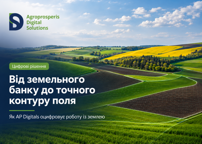
From the land bank to precise field boundaries: how AP Digitals is digitising land management
Land is one of the key assets of the agribusiness sector. For a company to operate effectively, it is important to have access to up-to-date data on fields, land shares, contracts, plot boundaries, survey measurements, statuses and related processes.
When this data is collated in a digital system, the team can process the information more quickly, plan operations more accurately and make decisions based on the actual situation.
AP Digitals develops digital solutions that help agribusinesses manage their land systematically: from land bank accounting to creating precise field boundaries and synchronising data with ERP systems.
The Land Bank as the Foundation of Management
An agricultural company’s land bank encompasses a vast amount of data: cadastral numbers, areas, land shares, contracts, landlords, village councils, statuses, a history of changes and additional characteristics of plots.
It is important for the team to be able to quickly find the information they need, view the current status of a plot and work with the data using a consistent approach.
A digital approach helps to streamline these processes. Land data becomes accessible for use within the system, and the team gains a user-friendly tool for analysis, decision-making and follow-up actions.
Digital field boundary: what does this mean for agribusiness?
A digital field boundary is the boundary of a field transferred into the system. It shows exactly where the field is located, its area, which plots it comprises, and what data the team is working with.
Such a boundary is important for:
- working with field maps;
- verifying the actual area;
- GPS surveying;
- preparing survey reports;
- analysing the history of changes;
- planning field operations;
- synchronisation with ERP.
When a field has a precise digital boundary, the team has a clearer view of the work area and can move more quickly from data to decision-making.
AP Fields: precise field boundaries, measurements and field data
AP Fields helps you manage field boundaries digitally. The solution enables you to create and edit plot boundaries, carry out GPS measurements, manage land shares, generate survey reports and transfer data to an ERP system.
In practice, this means that the team can view a map of the fields, refine boundaries, record survey results and store up-to-date information in the system.
AP Fields helps make working with field data more accurate, faster and more convenient for the team.
AP Land Assistant: a digital process for land auctions
AP Land Assistant is a web-based platform for land auctions and the sale of plots.
The solution enables users to manage lots, applications, auctions, bids, statuses and the formalisation of transactions digitally.
On the platform, you can:
- create listings for the sale of land plots;
- manage cadastral numbers, areas, locations and starting prices;
- view current, scheduled and completed auctions;
- view detailed information on each lot;
- conduct auctions in an open or ‘blind’ format;
- record the stages of the transaction process;
- analyse applications, areas, prices and regions.
AP Land Assistant helps to make the process of selling land plots structured and transparent for the team.
AP Agronomist: field processes within a single digital framework
Working the land involves field operations. That is why it is important for field maps, work histories, reports, technical charts and data from the ERP system to operate within a single digital environment.
AP Agronomist helps agronomists manage field data, field maps, work completion reports and the history of operations.
This creates a link between land data, agronomic planning and the actual execution of work in the field.
ERP as a data hub
For an agricultural company, it is important that data relating to land, fields, measurements, contracts, reports and processes are linked together.
ERP helps to consolidate this data into a single system and ensure it remains up to date for various areas of the business: the land department, agronomy, finance, management and operational teams.
When AP Fields, AP Land Assistant, AP Agronomist and AP ERP operate as an integrated system, the company gains a more comprehensive overview of its land and field operations.
Від окремої ділянки до управлінського рішення
Цифрова робота із землею починається з конкретних даних: кадастрового номера, площі, межі, паю, акта або заявки.
Далі ці дані переходять у процес:
- Ділянка або поле фіксується в системі.
- Команда працює з картою, контуром, площею та пов’язаними даними.
- За потреби виконується GPS-замір або редагування полігона.
- Дані передаються в ERP.
- Команда бачить актуальну інформацію для планування, аналізу та подальших дій.
Такий підхід допомагає перейти від розрізнених даних до керованого процесу.
Що отримує агробізнес
Цифрові рішення AP Digitals для землі та поля допомагають агрокомпаніям:
- бачити актуальну інформацію по земельному банку;
- працювати з точними контурами полів;
- швидше знаходити потрібні дані;
- формувати акти обміру;
- проводити GPS-заміри;
- пов’язувати польові та земельні дані з ERP;
- аналізувати процеси в єдиній системі;
- приймати рішення на основі фактичної інформації.
Земля, поле, пай, контур, замір і ERP стають частинами одного цифрового процесу.
AP Digitals оцифровує ключові процеси агробізнесу
AP Digitals створює рішення, які допомагають агрокомпаніям працювати з даними швидше, точніше та системніше.
У напрямі землі та польових процесів ці рішення охоплюють земельний банк, цифрові контури, GPS-заміри, акти обміру, польові дані, аукціони, заявки та інтеграцію з ERP.
Такий підхід допомагає агробізнесу бачити повну картину: від окремої ділянки до управлінського рішення.
Детальніше про цифрові рішення AP Digitals — на сайті:
ap-digitals.com
Read also
AP Digitals is developing digital solutions for land management and field operations

5 signs that your agricultural business is ready for digital transformation