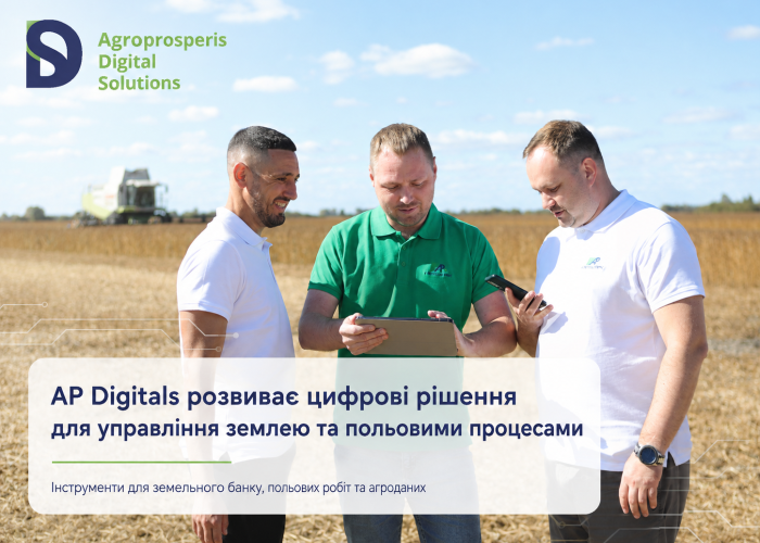
AP Digitals is developing digital solutions for land management and field operations
Land and field process management is one of the key areas of digitalisation in agribusiness. It is important for agricultural companies to have up-to-date data on fields, land shares, areas, boundaries, survey reports, work carried out, and the integration of this information into a single management system.
AP Digitals develops digital products that help agricultural teams work with field data in a structured, fast and transparent manner. Such solutions integrate information from the field, mobile devices, mapping services and ERP systems, enabling the team to see an up-to-date picture and make decisions based on accurate data.
One such product is AP Fields — a mobile device for accurately measuring field areas. It helps to create survey reports, work with field boundaries, carry out measurements via GPS/Trimble or manually, edit polygons and transfer up-to-date data to the ERP system.
A key focus of the product is working with maps of fields and land parcels. Users can view the location of plots, boundaries, areas and other important information for managing the land bank. This simplifies work with field objects and helps find the required data more quickly.
Synchronisation with the ERP system integrates field information into the company’s unified digital workflow. Data recorded in the field is transferred to the system and becomes available for further processing: analysis, accounting, planning and management decisions.
AP Digitals’ digital solutions for land and fields help agribusinesses organise data, reduce manual work, improve the accuracy of measurements and create a unified
AP Digitals continues to develop an ecosystem of products for the agribusiness sector, where each tool addresses a specific operational task and, together, they form a comprehensive digital infrastructure for the company.
Find out more about AP Digitals’ solutions at ap-digitals.com
Read also
From the land bank to precise field boundaries: how AP Digitals is digitising land management
5 signs that your agricultural business is ready for digital transformation